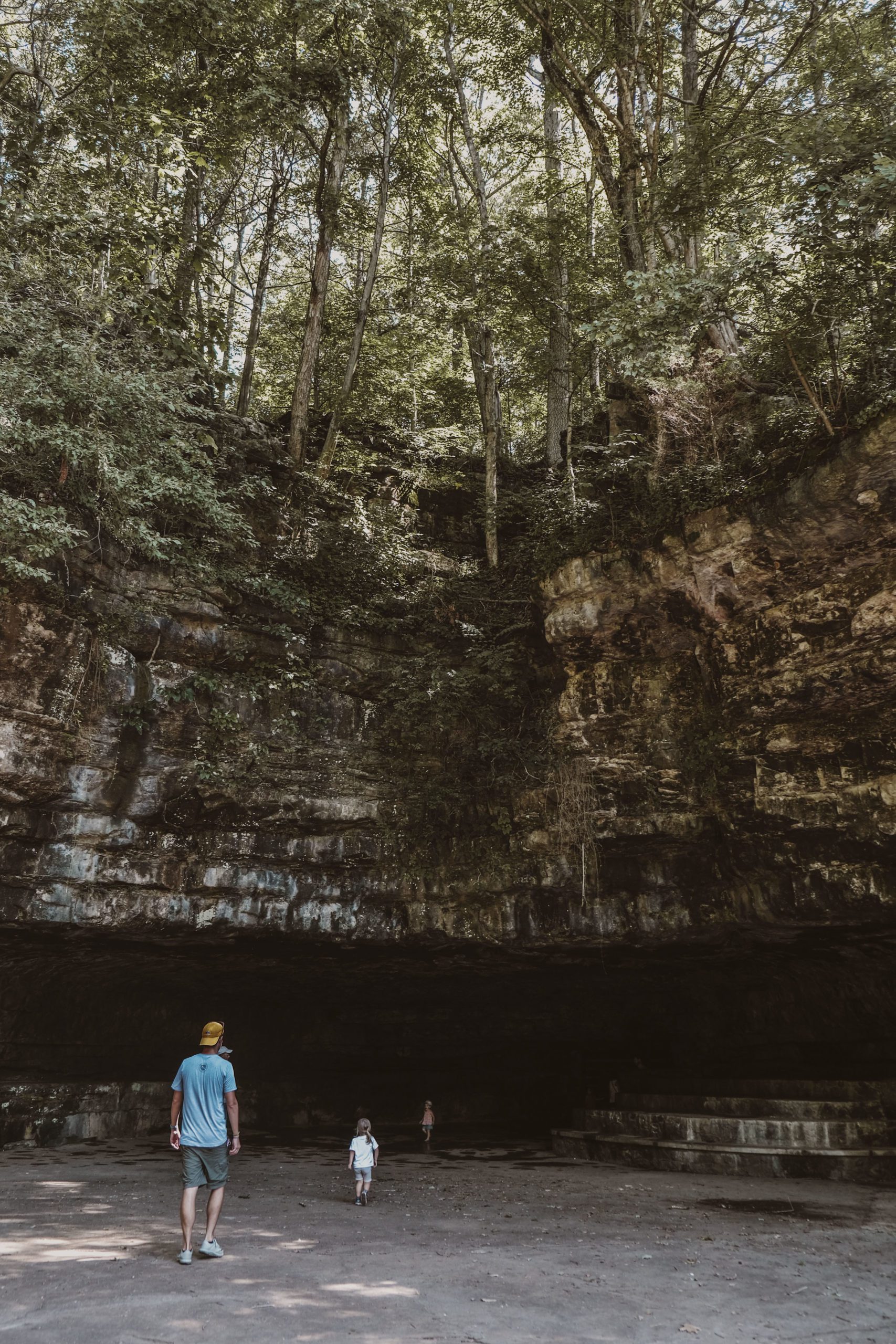
During our Fall Break in October, we spent four nights in a cabin at Edgar Evins State Park, courtesy of Tennessee State Parks. [In exchange, I wrote a family-friendly guide to the park for their blog and newsletter. Read the full article on the Tennessee State Parks website here!] I’ve recently mentioned the three waterfall parks located east of Nashville; Burgess Falls State Park is one of them, located 26 miles from Edgar Evins. We were encouraged to venture into the surrounding area during our stay; according to the Park Manager, Edgar Evins is often used as a base for the many outdoor adventures in the area, which is part of its appeal. Burgess Falls is a great option for a day trip. It offers a short, moderate hike with a very satisfying pay-off.


The park is one of the smaller ones in the system at just 217 acres. This region of Tennessee has a lot of sharp contrasts in its elevation – high ridges, deep lakes, rivers surrounded by sheer bluffs. The park is home to four waterfalls (or so it claims; we only encountered three!) along the Falling Water River. The area was once occupied by the Cherokee, Creek, and Chickasaw. Settlers forced them out of the area in the 19th century with the construction of a grist mill, owned by the Burgess Family who had received the land in a Revolutionary War grant.
For the last full day of our stay at Edgar Evins, it had rained overnight for the first time in weeks. This was the best sign that the falls wouldn’t be completely dry after our unseasonable drought, so we hopped in the car for the thirty-minute drive to Burgess Falls State Park.
When we arrived, there were only one or two other cars in the parking lot. The .5-mile River Trail follows the shore for a moderate hike past three separate waterfalls before the big finale. Our five-year-old line leader had no trouble managing this hike by herself, despite a long climb of stairs, and both kids found plenty of spots to stop and view the water.


The trail saves the best for last: an observation deck overlooking the final waterfall, cascading down from over 100 feet. [For an easier walk, a paved path leads directly from the parking lot to the observation deck.] There is one final trail segment that heads downhill, closer to the water. A sign indicates a steep descent/climb, and with two young children who had chosen this moment to hit a wall and throw fits about granola bars, we opted to skip it. Passersby shared it’s not too intimidating; I would have loved to see the view it offered.
By the time we returned to the trailhead, the parking lot was full. Not only does Burgess Falls offer a family-friendly hike, there’s also a first-rate playground on site, and it was packed. Thankfully, after one turn on the swings, our family’s moods had lifted.
CHECKLIST:
Date: October 2022
Count: 21 of 57
DIRECTIONS:
Head east on I-40 towards Cookeville and take exit 280 towards Baxter/Gainesboro. Turn right off the exit onto Baxter Rd. Follow for a mile before turning left onto Academy Rd. After 3/4 mile, take a right onto Ditty Rd. Follow for 3 miles, and at the stop, turn right onto TN-135 S. At the fork, continue left to stay on Burgess Falls Rd. After crossing the bridge, follow the brown state park sign and take a sharp right onto Burgess Falls Dr and follow to the parking lot.

Click here to read more of our adventures in Tennessee State Parks!


