I thought Bledsoe Creek State Park would be an easy enough park on the list to check off after a half-day trip. It’s one of the handful of state parks within the Nashville surrounding area – about a 45-minute drive from downtown, just outside the small town of Gallatin in neighboring Sumner County.
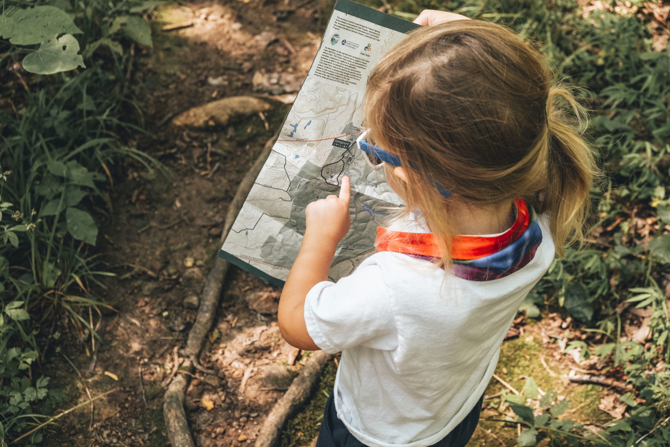
Considering my official state park visit criteria – a) check out visitor’s center, b) chat with park ranger, and c) take a hike – I was sorely mistaken on how easily I could meet those requirements.
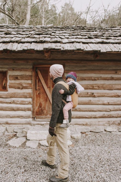
Heading into Bledsoe Creek, you’ll find an entrance like many of the state parks in Tennessee’s system: well-marked but tucked away down a quiet, seemingly-residential street. Heading west from downtown Gallatin, the turn-off street looks like just another country road, but keep following it and the park’s entrance gates eventually appear. You’ll immediately find the Visitor’s Center on your right – a large replica log cabin that houses park offices, restrooms, a gift shop, and loads of information on the history of the park and surrounding area.
The park is on the smaller end of the State Park spectrum – 164 acres on the Bledsoe Creek embayment of Old Hickory Lake. The lake itself is a reservoir created from the Cumberland River by the Old Hickory Dam back in 1954; the park was developed as a recreation area for that project, officially designated in 1973. For thousands of years, the area was prime hunting ground for the Shawnee, Cherokee, and Chickasaw. When European hunters/settlers flooded the region in the mid- to late-1700s, establishing base camps in the area, animals dispersed and tensions erupted between the groups that lingered until the end of the Cherokee-American Wars in 1794. When Tennessee gained statehood in 1796, a county seat was created and the town of Cairo was established as a hub of river trade.
WINTER
Our first outing to Bledsoe Creek was a balmy New Year’s Eve afternoon – cold enough for a coat and hat but comfortable for an extended walk. But unfortunately for us, middle Tennessee had just suffered a seemingly endless bout of rain leaving the park grounds saturated and, as we learned at the Visitor’s Center, the park’s 5 miles of now-impassable trails closed.
Well, at least there was a nice view of the lake, right?


No matter, the park and lake are home to plenty of wildlife to discover in any season. On our brief walk, we headed down to the wildlife viewing dock which offers a nice view out over the lake. The Park Ranger alerted us to the many animals we may find: nesting bald eagles, owls burrowed in trees. In springtime, the nearby protected wildlife area is home to many blue herons.
Much of the Shoreline Trail was actually underwater; even the 1-mile paved Mayo Wix Trail was closed with flooded portions. At present, the latter houses a temporary exhibit of sorts, the Reading Ranger Storybook Trail. It features 14 stops along the loop where visitors can pause and read the pages of a nature-themed picture book, presented on child-height panels that bring the book to life with surrounding nature. It’s one of several Storybook Trails throughout various State Parks and outdoor spaces, a project that began in 2018 by the Governor’s Books from Birth Foundation to combine exercise and literacy by connecting books with nature. As of late 2019, there were 16 such trails in the Tennessee outdoors, and several of the stories have already rotated among locations.


SPRING
The arrival of warm weather and re-opening of state parks after COVID-19 closures took us back to Bledsoe Creek for a second visit, this time to actually hit the trails and discover the park beyond the paved campground roads. (The Visitor’s Center was closed this time; fortunately for me that criteria had been met back in the winter!)
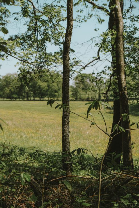
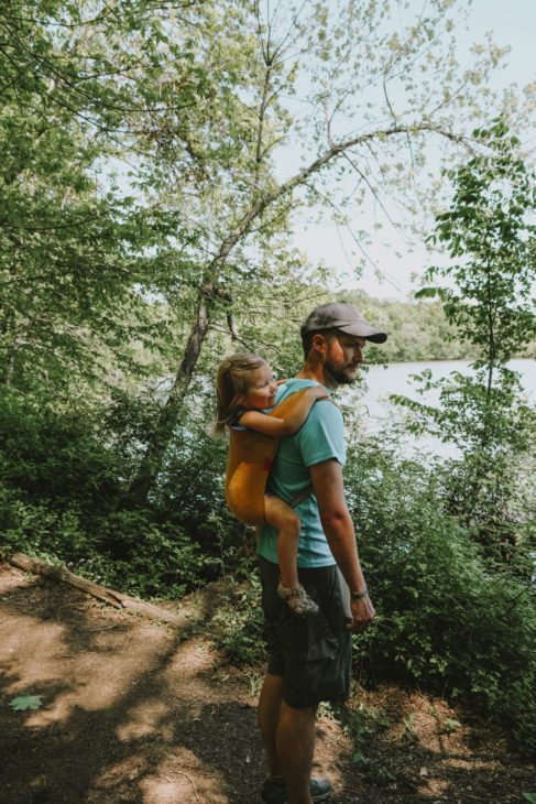
The High Ridge Trail connects just across the road from the Visitor’s Center, traversing up a ridge and through the woods alongside a rolling meadow you can peek through the trees. Our daughter is now at the age where she prefers walking rather than riding, so our trail criteria has had to change a bit (aka: shorter distance) over the past year. This trail is perfect for small but independent hikers, even though it does make our adult pace so. much. slower.
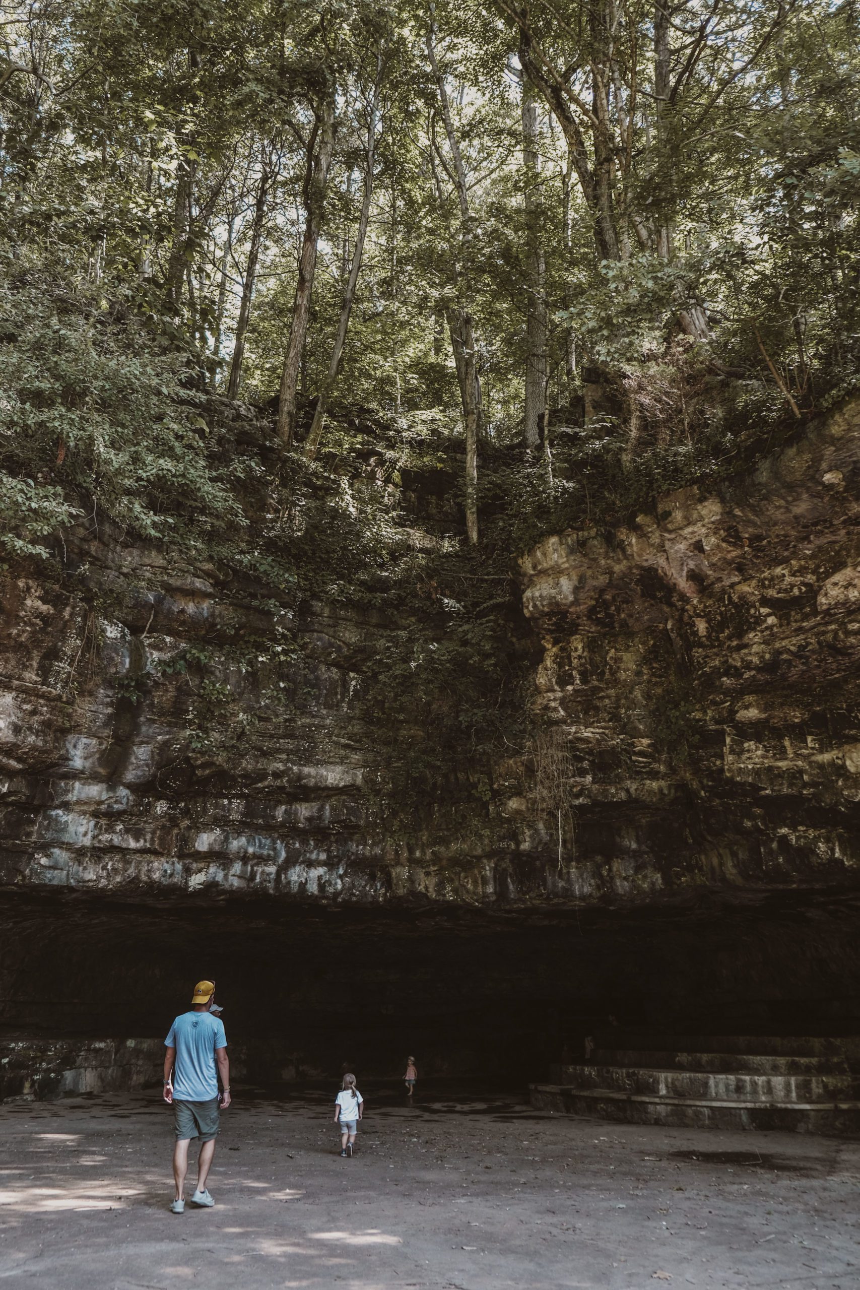
At the 1-mile marker, the High Ridge Trail ends and, now with a view of the lake below, you begin the Shoreline Trail that runs along the lake. Another half mile will take you along the lake bluffs until you reach the campground road and boat launch. Here you can hop on the paved road back to the park’s entrance or continue along the shore for another 3/4 mile (and often through the campgrounds) to the viewing dock where we spotted fish, turtles, and birds – naturally, the kid’s favorite part of the hike.


***********************
If you have time, the surrounding area is full of historical markers worth a visit. (The Visitor’s Center has a significant list of which I made note during our winter visit; unfortunately, all were COVID-closed during our spring visit.) Bledsoe Fort was built in 1780 once the white settlers had moved into the area as protection from the local Native American tribes; the current Bledsoe Fort Historical Park highlights the area’s 18th-century European-American history. The Historic 1802 Cragfont House was home to General James Wincester and well-known as one of the finest mansion houses on the frontier; now it’s notorious for its supposed paranormal activity. The Wynnewood Historic Site is a resort from 1830, a fashionable product of an era that believed the “healing nature” of mineral springs was a healthful cure-all.
The small size of Bledsoe Creek may discourage many State Park or hiking enthusiasts; its appeal seems to be as a quiet retreat for day hikers, bird watchers, boaters, or local campers. As a Nashville resident – local enough – Bledsoe Creek is a nice half-day escape out of town.


CHECKLIST:
Date: December 2019 & May 2020
Count: 3 of 56
GETTING THERE:
Bledsoe Creek State Park is located just outside Gallatin, TN, about 40 miles northeast of Nashville. From I-65 N, follow the split to TN-386/Vietnam Veterans Blvd heading towards Hendersonville/Gallatin. Continue on TN-386 through town as the highway turns into E Main Street. Turn right onto Zieglers Fort Road and follow to the park’s entrance.

Click here to read more of our adventures in Tennessee State Parks!