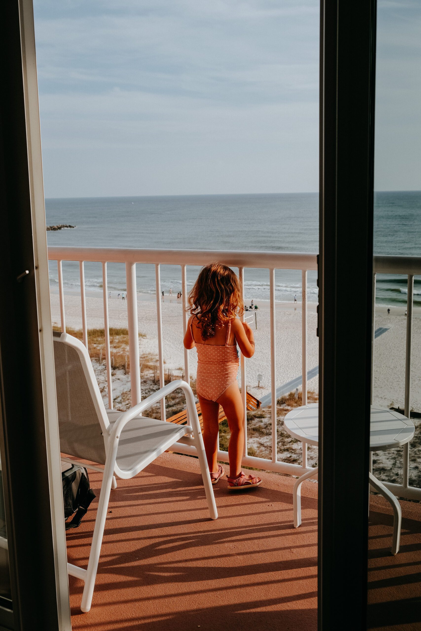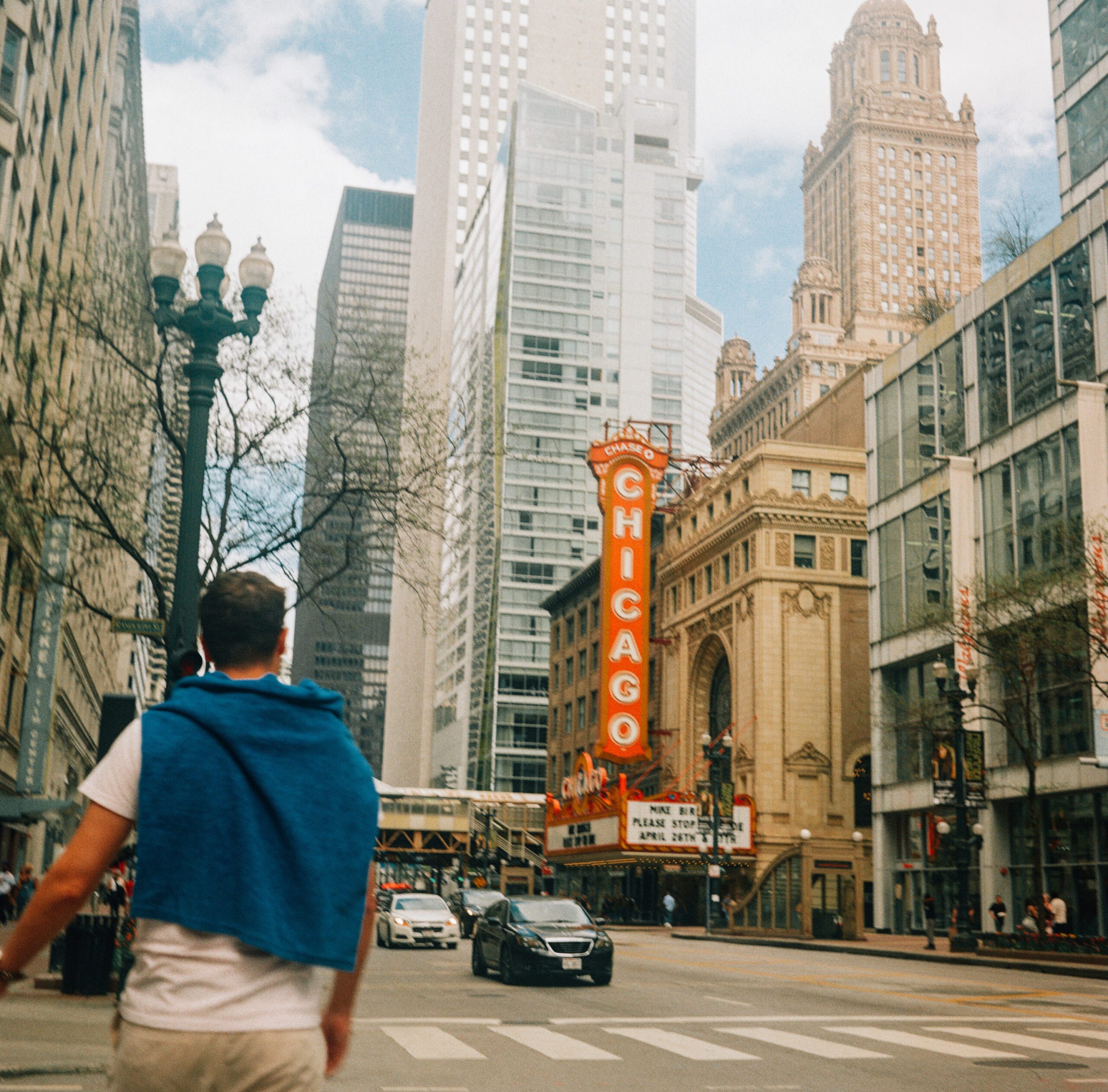
My rules of travel with children are simple: don’t over-plan for outings (though yes, over-plan for everything else, ie: packing, meals, accommodations, etc.); keep the bar low; remain flexible. At this age, our kids are mostly along for the ride. Our eldest is beginning to connect her experiences to something bigger and more meaningful, but mostly we just aim to get our kids out of their usual environment, have them stretch their legs in a different space, practice flexibility, and observe new people and ways of living.
Having lived in New York City for nearly ten years, I feel like we’ve seen it all. Obviously there are always new pockets and hidden gems to discover when seeking the local perspective, but as tourists, we’ve checked all the boxes of the main attractions. Multiple times.
In visiting the city for the first time with our kids, I initially had a big list of must-see sites and experiences, pulled from travel blogs and Time Out New York Kids. It got stressful and overwhelming, like we were going to miss something important…but how could we possibly give them the experience of NEW YORK CITY in just three days…and I really want to wow them and make them want to come back, but also they’re both still really young, right???
I got way, unnecessarily overwhelmed. So, I paused and asked myself, “What do I want them to get out of this?”
And my answer was: “Feel the chaos and be WOWed enough by something to remember it.”
If you Google “best viewpoints NYC,” there’s no shortage of results, but I found that many are tourist sites and therefore expensive. (Love Top of the Rock but not spending $40pp this time.) Or, they’re rooftop bars. (Oh, to be a carefree 20-something again.) Here’s a list for the parents with unpredictable companions, seeking the astounding, or for any other traveler looking for a cheap view.


The High Line (Manhattan, Chelsea)
Once an elevated train line running along 10th Ave, the High Line is one of the most satisfying examples of urban adaptive reuse. The line was in use from the 1930s until 1980, when it was effectively abandoned due to decreased traffic and major construction. It was renovated in stages with the first section opening in 2009 and the final section in 2019. Today, it’s nearly 1.5 miles of park and greenway, offering a slightly aerial perspective of the city that still feels very much connected to the buzz of the street.

Roosevelt Island Tram (Manhattan, Midtown East)
It’s hard to find a competing view for the price of a subway ride. The tramway crosses the East River to link Manhattan’s Upper East Side (59th St and 2nd Ave) to Roosevelt Island. It’s been in operation since 1976 and was even North America’s very first commuter aerial tramway. If offers a birds-eye view of the city that’s hard to find anywhere else. The ride across takes about 3 minutes, runs every 7 to 15 minutes (depending on time of day), and is accessible using a Metrocard. Spend a little time exploring the historic (and mostly residential) island – it was formerly known as Blackwell’s Island and home to Nellie Bly’s infamous investigative reporting on the Women’s Lunatic Asylum – before heading back to Manhattan.


Belvedere Castle (Manhattan, Central Park)
When Belvedere (meaning “beautiful view” in Italian) was built in 1872, its intent was to provide a lookout of the surrounding landscape. It’s built on Vista Rock, the second highest natural point in Central Park. Originally, the Castle had no windows or doors; it was just an open-air tower. In 1919, the US Weather Bureau converted it into a weather station, adding the indoor offices; they left in the 1960s, and the building deteriorated until it was renovated and reopened as a visitor center in 1983. Most recently, in 2019, it was again restored and modernized. To ascend the tower and reach the highest viewing terraces, be sure to visit during open hours.
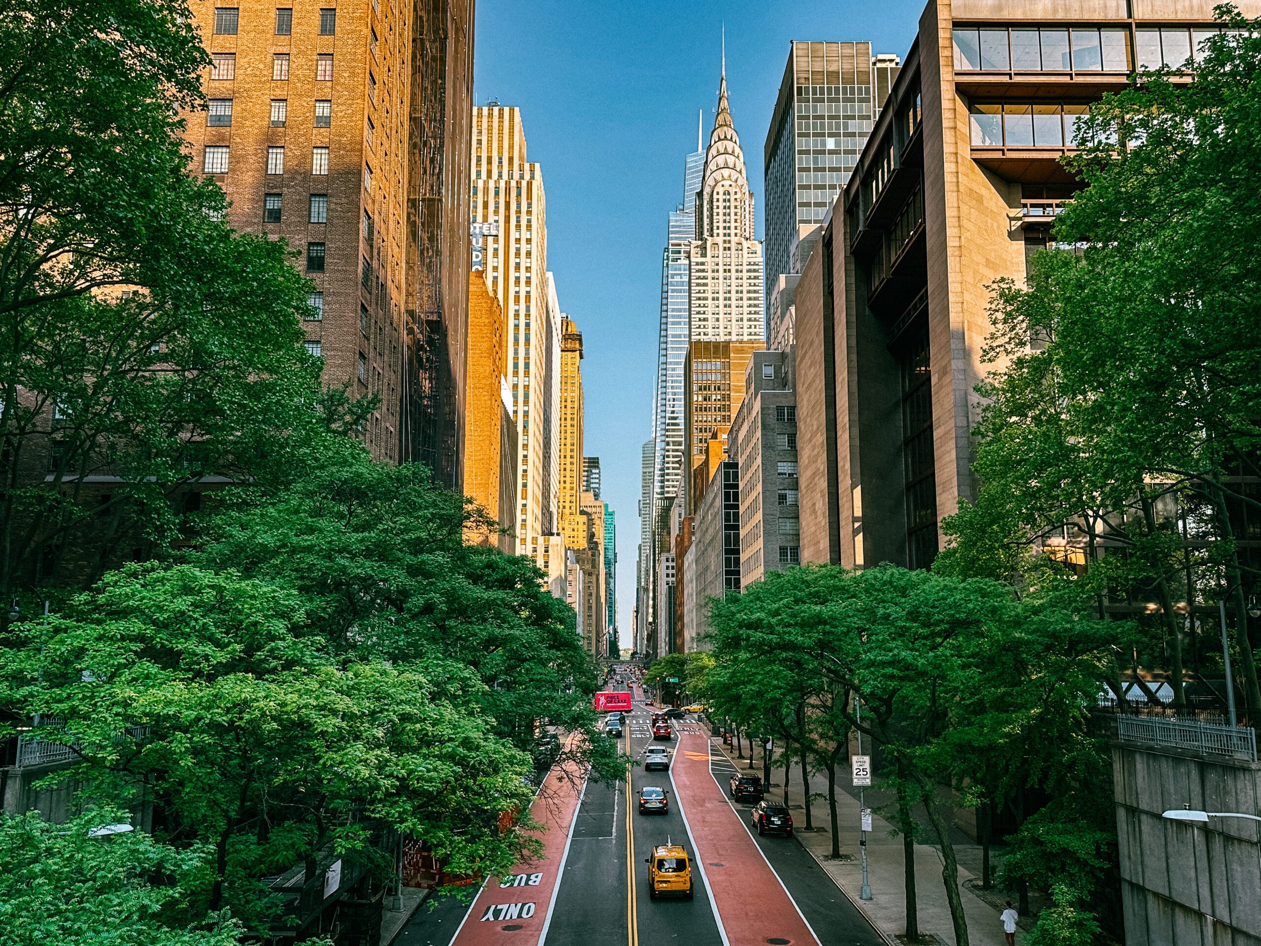
Tudor City Bridge (Manhattan, Midtown)
When I lived in New York in my 20s, I thought Tudor City was probably the most quiet, boring place to live. It’s on the eastern edge of Manhattan, entirely residential, far from night life, and hard to reach via public transportation. Over a decade later, though, and my tune has changed. It’s quiet! Residential! Water views! A garden! It’s situated on a low cliff with a short pedestrian bridge spanning 42nd Street down below. If you catch an early morning view, the sun rising off the East River will give the Chrysler Building a warm glow.
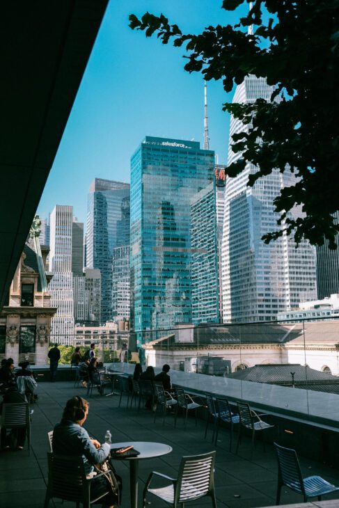
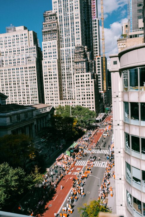
Stavros Niarchos Foundation Library (Manhattan, Midtown)
During our time in New York, this was known as the NYPL’s Mid-Manhattan Branch. Just across the street from the library’s flagship 42nd Street building, it serves as the system’s largest circulating branch. The renovations were just completed, and it reopened in June 2021 with a new name and modern, much-needed amenities. One thing it boasts – the only free, publicly accessible rooftop terrace in Midtown Manhattan. It offers an elevated view and pleasant place to rest at zero cost, but be sure to check the website for hours and updates regarding potential closures.

NYC Ferry (East River)
The route map is much more extensive than when we left in 2013, offering plenty of options to catch a river view for just $2.75. We rode the East River route from Williamsburg to E. 34th St., and it was WAY faster than I remember. I’d advise adding a few stops for a longer ride – the Astoria route from Wall St. to E 90th would highlight several points of Manhattan, Brooklyn, and Queens; the South Brooklyn route stops at Brooklyn Bridge Park, which offers another great viewpoint.


Domino Park (Brooklyn, South Williamsburg)
Living in Williamsburg, I used to take long runs down the waterfront where I’d pass the abandoned Domino Sugar Refinery. (I remember it emitting a very distinct, but not terrible, odor of decay.) The complex was in operation from 1882 until 2004 when operations were finally shuttered. A massive redevelopment began in 2014 that is still underway, and part of the new construction includes Domino Park. It covers five acres along a quarter mile of the East River, designed by the same firm as the High Line. The view along the waterfront is a peaceful landscape of Manhattan’s Lower East Side with the Empire State Building peeking through.

